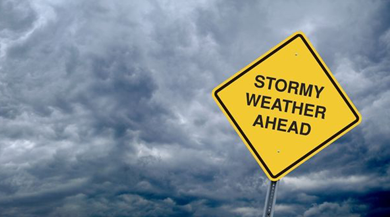
Worst storm in 3 Decades?
Cape Town is bracing for what could be the worst storm to hit the Western Cape in 30 years. Weather experts are predicting low temperatures, very rough seas, snow, rain, flooding and extensive gale force winds over the next 48 hours and are urging the public to take precautions and if possible to stay indoors while the storm passes. The West Coast in particular has been marked as a high risk area.
The Disaster Management Centre will be in full operation from 10pm, Tuesday 6th June. All emergency rescue units are on high alert, including the air force. The Western Cape Department of Education has made the decision to close all public schools on Wednesday, 7th June as a precautionary measure. Authorities are asking residents to take this matter seriously especially in the high risk areas of the Peninsula, West Coast and Overberg.
Weather expert, Derek van Dam estimates the storm will dump the equivalent of 100,000 olympic sized swimming pools of water in the City of Cape Town over a period of 36 hours and although this is a massive amount we should continue to conserve water as it is still no where near the amount of water needed to replenish reserves.
Rainfall totals are predicted as follows:
CPT Metropole: 75-100mm
Overberg: 125-150mm
West Coast: 50-75mm
Winelands: 100-125mm
Should you be in an emergency situation call the toll-free number, 112 from any cellphone.
Mother nature still keeping her promise. Expect rain to move in along west south-west coast by Tuesday night. Keep updated @SAWeatherServic pic.twitter.com/KHdrhXdKBx
— SA Weather Service (@SAWeatherServic) June 5, 2017